Mount Katahdin, located in Baxter State Park, Maine, stands as a majestic centerpiece for hikers and nature enthusiasts. Known for its rugged terrain and breathtaking views, Katahdin Mountain is a popular destination for those seeking adventure and tranquility. This guide will help you plan your trip by detailing popular trails and tips for using the Baxter State Park map.
Overview of Mount Katahdin
Katahdin is the highest peak in Maine, reaching an elevation of 5,267 feet. It is the northern terminus of the Appalachian Trail and offers a unique combination of challenging climbs and awe-inspiring scenery. The mountain’s name, Katahdin, means “The Greatest Mountain” in the Penobscot language, reflecting its prominence and significance in the region.
Popular Trails on Katahdin
Several trails ascend Katahdin, each offering distinct experiences and challenges:
- Hunt Trail: This trail is part of the Appalachian Trail and is often considered one of the most rewarding routes to the summit. It spans approximately 5.2 miles and includes a variety of terrains, from dense forest to open rock scrambles.
- Cathedral Trail: Known for its steep and rocky ascent, Cathedral Trail is suited for experienced hikers. It offers spectacular views, but requires careful navigation and a head for heights.
- Knife Edge: This trail is famous for its narrow ridge and requires careful footing. Although challenging, it provides unmatched panoramic views, making it a favorite among thrill-seekers.
- Chimney Pond Trail: A more gentle option, this trail leads to Chimney Pond, a great spot for those looking to enjoy the natural beauty without summiting.
Planning Your Hike
Before setting out on Katahdin, preparation is key. Here are essential tips for a successful hike:
- Permits and Reservations: Make sure to secure a parking reservation in advance, as Baxter State Park limits daily access to preserve the environment.
- Check Weather Conditions: The weather can change rapidly at high elevations, so it’s crucial to check forecasts and prepare for variable conditions.
- Pack Essentials: Bring adequate water, food, navigation tools, and gear suitable for sudden weather changes. A first-aid kit and a fully charged phone are also recommended.
- Timing: Start early to ensure ample daylight for your hike. Allow at least 8-10 hours for a round trip, depending on the trail chosen.
Using the Baxter State Park Map
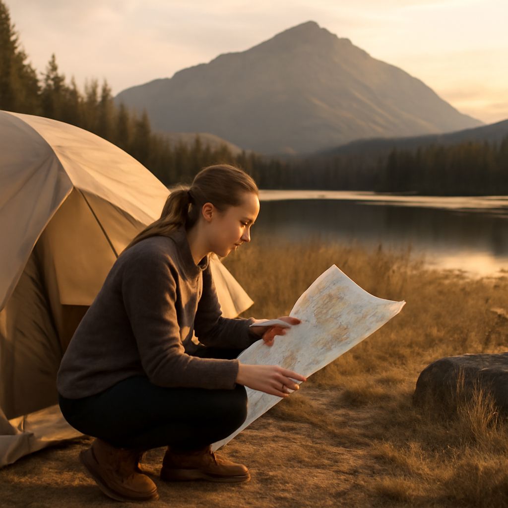
The Baxter State Park map is an invaluable resource for navigating the trails and planning your visit. Here’s how to make the most of it:
- Trailheads and Routes: The map clearly marks trailheads, distances, and elevation changes, helping you choose the best route for your skills and interests.
- Landmarks and Facilities: Identify key landmarks, campsites, and ranger stations. Knowing these locations enhances safety and convenience during your hike.
- Environmental Awareness: The map highlights sensitive areas and conservation zones, reminding hikers of the importance of staying on designated paths to protect the environment.
With careful planning and respect for nature, hiking Mount Katahdin can be an unforgettable experience. Utilizing resources like the Baxter State Park map ensures a safe and enjoyable adventure in one of New England’s most stunning landscapes.